Muskegon Scenic Drives: The Roads That Show You the Water First
Every navigation app brings you into Muskegon the fastest way. Around here, the fastest way and the memorable way are rarely the same road - and the difference usually costs less than ten minutes.
This guide maps the drives locals use when the point is the water: the causeway into North Muskegon, the shoreline run from downtown to the Pere Marquette sand, and Scenic Drive running north past Duck Lake toward White Lake. They are worth knowing on a first visit. They matter more after a move, because these become the everyday routes you get to live with.
Last reviewed August 2026. Roads stay put, but park facilities and seasonal closures change; check the linked park pages before a special trip.
The Drives at a Glance
- The causeway
- Downtown Muskegon to North Muskegon across the east end of Muskegon Lake, through Veterans Memorial Park
- The shoreline run
- Lakeshore Drive from downtown along Muskegon Lake to Beach Street, Kruse Park, and the Pere Marquette sand
- The shoreline road north
- Memorial Drive from North Muskegon through Muskegon State Park, then Scenic Drive past Duck Lake toward White Lake
- Good to know
- No road crosses the Muskegon channel - the beach road and the state park road are two separate arrivals
- First visit
- The causeway and the shoreline run both fit in an afternoon; Sherman Boulevard is the straight shot to the sand when time is short
- Fall
- Scenic Drive's wooded miles are at their peak in October
The Causeway: Water on Both Sides
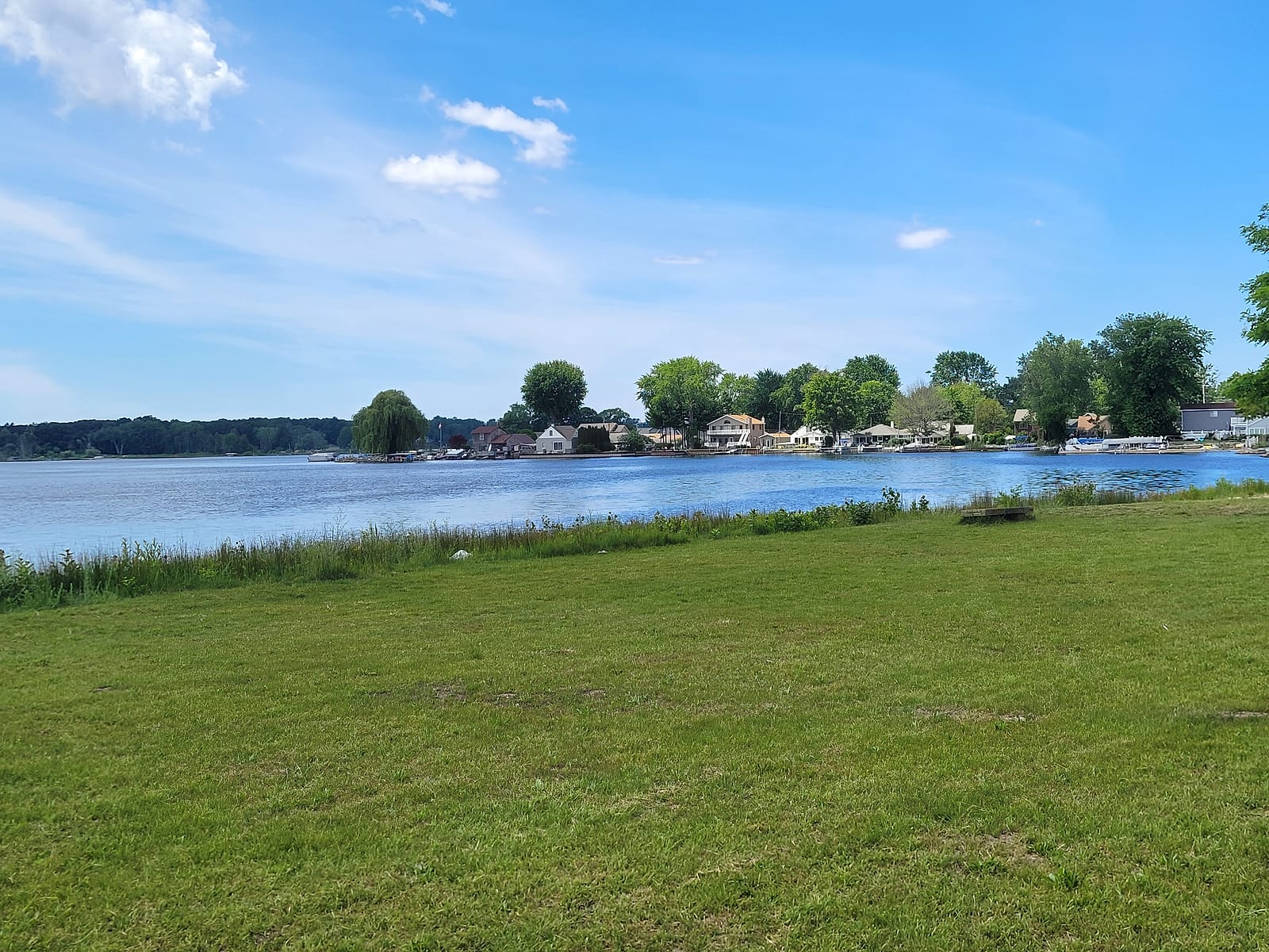
The causeway carries the main road between downtown Muskegon and North Muskegon across the east end of Muskegon Lake, right where the Muskegon River spreads into its delta. Open lake sits on one side, river marsh on the other, and the green running between the divided lanes is Veterans Memorial Park - the county also calls it the Causeway Memorial Park - with ponds and memorial grounds honoring Muskegon County veterans. The Michigan Municipal League's write-up of the park's restoration calls the causeway the gateway between Muskegon and North Muskegon, and that is how it works in practice: for a few minutes you drive through a park, on the water, between two towns.
Northbound, the ridge of North Muskegon rises straight ahead, and the elevated views that define the town start a block or two up from the causeway's end. Southbound works just as well: the lake opens up in front of you with the city skyline behind it. If you want to know what the water is doing before you drive, the site's live camera watches this end of the lake from the North Muskegon shore.
The Shoreline Run: Lakeshore Drive to the Sand
The scenic way to the beach follows the water the whole time. From downtown, Lakeshore Drive runs west along Muskegon Lake's south shore, past the working shoreline and most of the lake's marinas, with the water in and out of view between them - the marinas and boat launches guide covers what you are passing. Where the shoreline bends toward the big lake, Beach Street takes over: Kruse Park first - the county's only dog beach, with a stretch of its northern sand set aside for leashed dogs - then the last mile of dune grass and open water to Pere Marquette Park, which anchors the north end of 2.5 miles of city-owned Lake Michigan frontage.
Beach Street ends at the Muskegon channel, with the USS Silversides Submarine Museum just inside it and Muskegon State Park's dunes rising on the far bank - and this is where first-timers learn the area's one routing quirk: no road crosses the channel, so the beach side and the state-park side are two separate arrivals.
In a hurry, or done sightseeing? Sherman Boulevard is the direct line: it leaves US-31, runs straight across town, and ends at the same sand at Kruse Park - the fast way in, and the sensible way home after a long beach evening. Quick out and scenic back works too: Sherman to the sand, Lakeshore Drive home along the lake.
Memorial Drive to Scenic Drive: The Shoreline Road North
From North Muskegon, Memorial Drive runs west along Muskegon Lake's north shore - Muskegon State Park's address is literally 3560 Memorial Drive. The DNR counts 3 miles of shoreline inside the park, two on Lake Michigan and one on Muskegon Lake, with the Snug Harbor day-use area on the calm side. Where the road climbs the back dunes, the blockhouse earns a stop: a lookout the CCC built in the 1930s on what the DNR calls the highest point in Muskegon County, built so visitors could see in every direction. In winter the same park runs the Muskegon Luge Adventure Sports Park, which turns the snowy months into a reason to make this drive rather than a reason to skip it.
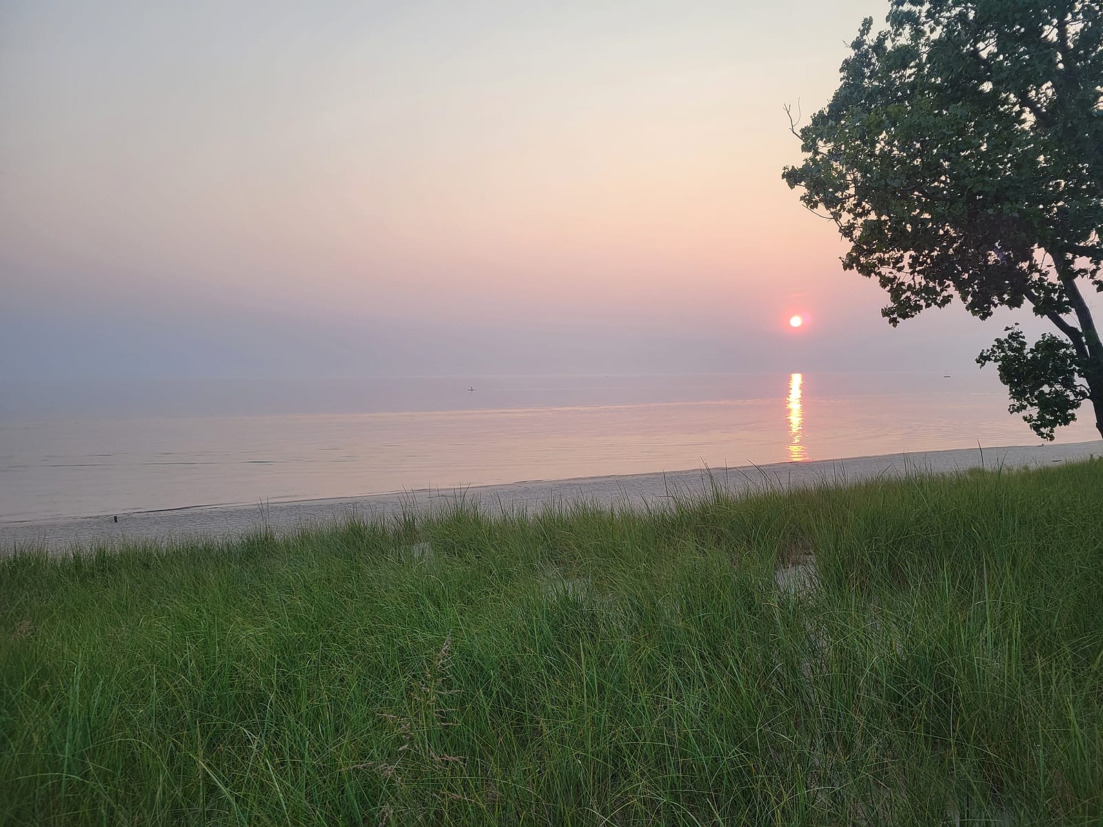
North of the park the road becomes Scenic Drive - the name on the street sign, not a nickname - and runs up through Fruitland Township's cottage country. Honest expectations help here: this is mostly a wooded two-lane with the big lake close by on your left but hidden behind the dunes, and the water appears at the stops rather than beside the road. The reliable stop is Duck Lake State Park, where the beach sits where Duck Lake's outlet crosses the sand into Lake Michigan. Keep going and the road hands you to the White Lake area at Whitehall and Montague, the destination end of the county's waterfront. In October the woods do the work, and the drive turns into a color run.
If You Live Here, These Are the Daily Drives
A visitor drives these once. Living here, the causeway is the commute, the shoreline run is what you do with a spare summer evening, and Scenic Drive is where you take the out-of-town guests in the fall. People house-hunting in the area can cover all three in one afternoon: causeway north, Memorial Drive to the blockhouse, back down, then Sherman to the sand before sunset. It is an honest picture of what waterfront life around Lake Michigan and Muskegon Lake actually looks like.
If the drives are part of why you are considering a move, the relocation checklist covers the practical layer - and before any waterfront purchase, the hidden-risks guide covers the things a pretty drive will not show you.
Common Questions
What is Scenic Drive in Muskegon?
Scenic Drive is the actual street name of the shoreline road that runs north from the Muskegon State Park area through Fruitland Township, past Duck Lake State Park, and on toward the White Lake area. Most of it is a wooded two-lane with cottage roads branching off toward Lake Michigan; the open water shows up at the parks along the way rather than beside the road the whole time.
What is the most scenic way to drive into North Muskegon?
Take the causeway. It crosses the east end of Muskegon Lake between downtown Muskegon and North Muskegon, with open lake on one side, the Muskegon River delta on the other, and Veterans Memorial Park running between the divided lanes. You see open water within seconds of leaving either end.
Can you drive along Lake Michigan from Muskegon to White Lake?
Close to it, with one catch: no road crosses the Muskegon channel. The beach side south of the channel ends at Pere Marquette Park. The through-route north runs on the other side of Muskegon Lake: Memorial Drive out of North Muskegon into Muskegon State Park, then Scenic Drive north past Duck Lake State Park toward Whitehall and Montague. Expect woods with glimpses of water, and plan your lake stops at the parks.
What is the fastest way to Pere Marquette Beach from US-31?
Sherman Boulevard. Leave US-31 at Sherman, drive west until the road ends at Kruse Park, and turn north on Beach Street for the last mile to Pere Marquette. It is the direct line; if you want the water in view the whole way, take Lakeshore Drive from downtown instead and keep Sherman for the trip home.
Sources
- Muskegon County: Veterans Memorial Park - the park on the causeway, "also known as the Causeway Memorial Park" (reviewed August 2026)
- Michigan Municipal League - the causeway as "the gateway between Muskegon and North Muskegon," the veterans memorial purpose, and the park's restored ponds
- Michigan DNR: Muskegon State Park - the 3 miles of shoreline (2 on Lake Michigan, 1 on Muskegon Lake), the Memorial Drive address, Snug Harbor, the CCC blockhouse on the county's highest point, and the luge park (read August 2026)
- Michigan DNR: Duck Lake State Park - the park and beach on Scenic Drive's route north
- City of Muskegon: Parks and Facilities - Pere Marquette Park at the north end of 2.5 miles of city-owned Lake Michigan frontage, and Kruse Park as the county's only dog beach
Related Guides
Living in North Muskegon
The town at the causeway's north end, and what the elevated views are like to live with.
Read the guideLake Michigan Shoreline Guide
The beaches these drives lead to, and what living on the open coast involves.
Read the guideDuck Lake, Muskegon County
The quiet lake beside the state park where Scenic Drive meets the sand.
Read the guideBerry Junction Trail Guide
The car-free version of the same idea: the paved lake-to-lake ride from Muskegon Lake to White Lake.
Read the guide